Το UNESCO Sites Navigator είναι το ειδικό Σύστημα Γεωγραφικών Πληροφοριών (GIS) για τις βασικές τοποθεσίες που έχει ορίσει η UNESCO σε όλο τον κόσμο παρέχοντας σημαντικές πληροφορίες σε σχεδόν πραγματικό χρόνο.
Το εργαλείο χρηματοδοτείται από ειδικά ταμεία σε Βέλγιο και Ολλανδία και από το Ταμείο Έκτακτης Ανάγκης για την Κληρονομιά της UNESCO, αναφέρεται σε δελτίο Τύπου.
Το UNESCO Sites Navigator είναι ένα ολοκληρωμένο εργαλείο παρακολούθησης που οπτικοποιεί μνημεία Παγκόσμιας Κληρονομιάς, Παγκόσμια αποθέματα βιόσφαιρας και γεωπάρκα της UNESCO.
Συγκεντρώνει σχεδόν 50 σχετικά σύνολα δεδομένων, υποστηρίζοντας βελτιωμένη παρακολούθηση μέσω τηλεπισκόπησης και παρέχοντας βαθύτερες γνώσεις για τις τοποθεσίες, είτε πρόκειται για τις φυσικές τους αξίες, τα γεωγραφικά χαρακτηριστικά τους, είτε για την έκθεσή τους σε κινδύνους και προκλήσεις.
Το UNESCO Sites Navigator περιλαμβάνει χαρτογραφικά εργαλεία που επιτρέπουν στους χρήστες να μετρούν αποστάσεις και περιοχές, να προσθέτουν σχόλια και να σχεδιάζουν απευθείας στον χάρτη, να εισάγουν αρχεία , να εξάγουν προσαρμοσμένους χάρτες και να έχουν πρόσβαση σε βασικές λεπτομέρειες τοποθεσίας στα Αγγλικά, Γαλλικά, Ισπανικά και Πορτογαλικά.
Ένα χαρακτηριστικό που ξεχωρίζει είναι το αυτοματοποιημένο σύστημα ειδοποιήσεων, που προσφέρει καθημερινές και εβδομαδιαίες ενημερώσεις που προέρχονται από δορυφορικά και γεωχωρικά δεδομένα σε σχεδόν πραγματικό χρόνο.
Valuable Information on Key Sites via the UNESCO Sites Navigator
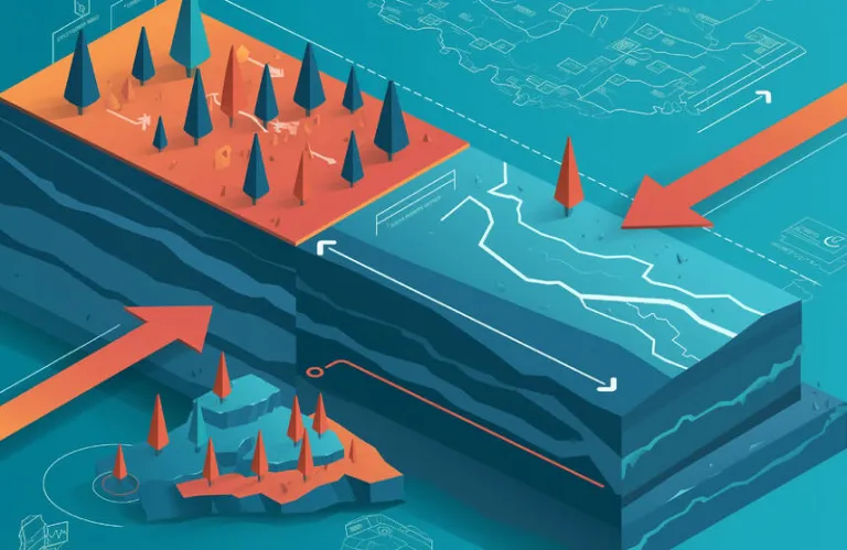
The UNESCO Sites Navigator is a specialized Geographic Information System (GIS) for key sites designated by UNESCO worldwide, providing significant information in near real-time. The tool is funded by special funds in Belgium and the Netherlands and by the UNESCO Heritage Emergency Fund, according to a press release. The UNESCO Sites Navigator is a comprehensive monitoring tool that visualizes World Heritage sites, World Biosphere Reserves, and UNESCO Global Geoparks. It gathers nearly 50 related datasets, supporting improved monitoring through remote sensing and providing deeper insights into the sites, whether it be their natural values, geographical characteristics, or their exposure to risks and challenges. The UNESCO Sites Navigator includes mapping tools that allow users to measure distances and areas, add annotations and draw directly on the map, import files, export custom maps, and access key site details in English, French, Spanish, and Portuguese. A standout feature is the automated alert system, offering daily and weekly updates derived from satellite and geospatial data in near real-time.
You Might Also Like
Χαλάζι σε μέγεθος καρυδιού στην Πάφο, γέμισαν δρόμοι και αυλές (ΦΩΤΟ)
Dec 21
ΒΙΝΤΕΟ: Κατακλυσμός στην Πάφο, δρόμοι μετατράπηκαν σε ποτάμια από τις βροχές, σφοδρή χαλαζόπτωση
Dec 21

Τι κοινό έχουν το κάπνισμα, το άτμισμα, το αλκοόλ και τα ναρκωτικά;
Dec 27

Το 2026 και οι προκλήσεις μιας αβέβαιης εποχής - Νέα χρονιά με εκκρεμότητες, συσσωρευμένες πιέσεις και κρίσιμα διλήμματα
Jan 1

Onassis Ready, ένα εργοστάσιο ονείρων και ιδεών για τους καλλιτέχνες των νέων μέσων στην Αθήνα
Jan 5