Η πιο ψυχρή νύχτα του φετινού χειμώνα μέχρι τώρα ήταν η χθεσινή, σύμφωνα με το Kitasweather, για πεδινές και παράλιες περιοχές του νησιού μας.
Είχαμε ένα ουρανό χωρίς σύννεφα αλλά και εξασθενημένους άνεμους που είχαν ως αποτέλεσμα να παρατηρηθεί έντονη θερμοκρασιακή αναστροφή σε αρκετές πεδινές/παράλιες περιοχές. Όπως εξηγεί το Kitasweather, το φαινόμενο αυτό είναι το κατώτερο ατμοσφαιρικό στρώμα της Γης, και ονομάζεται τροπόσφαιρα και εκτείνεται από την επιφάνεια της Γης μέχρι και περίπου τα 12±4 km, με τη θερμοκρασία μέσα στην τροπόσφαιρα να μειώνεται με το ύψος. Ο ρυθμός μεταβολής της θερμοκρασίας στην τροπόσφαιρα, είναι ίσος με περίπου -6.5°C/1km (δηλαδή η θερμοκρασία μειώνεται κατά περίπου 6.5 βαθμούς για κάθε 1 χιλιόμετρο ύψος).
Διαβάστε σχετικά: Από κρύο και βροχές μέχρι καταιγίδες και χιόνι! Έτσι θα γραφτεί ο επίλογος του 2025 – Αναλυτικά η πρόγνωση
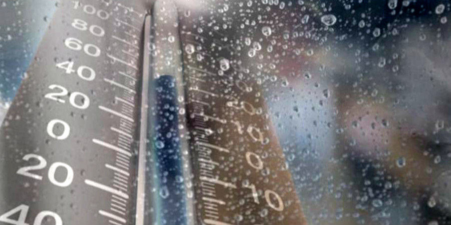
Η ελάχιστη θερμοκρασία στο σταθμό του Τμήματος Μετεωρολογίας στην Αθαλάσσα, στη Λευκωσία πλησίασε τους 0°C και πιο συγκεκριμένα τους 0.8°C. Ενώ κάποιες περιοχές κοντά στα παράλια, όπως Ζύγι, αεροδρόμιο Λάρνακας, Αραδίππου και Ξυλοφάγου έπεσαν μέχρι και τους 3°C.
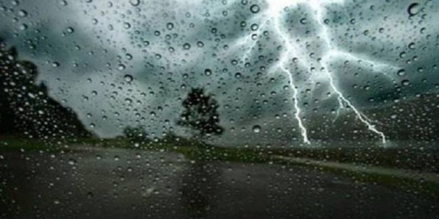
Θυμίζουμε ότι σύμφωνα με το Τμήμα Μετεωρολογίας, αναμένεται να εκδοθεί Κίτρινη Προειδοποίηση για ισχυρές καταιγίδες στα παράλια.
Coldest Night of the Year in Cyprus: Temperatures Near 0°C in Nicosia

Yesterday night was the coldest of the winter so far for the plains and coastal areas of Cyprus, according to Kitasweather. The lack of clouds and weak winds caused a strong temperature inversion, resulting in low temperatures. At the Meteorological Department station in Athlassa, Nicosia, the temperature reached 0.8°C, while in coastal areas such as Zygi, Larnaca Airport, Aradippou and Xylofagou, the temperature dropped to 3°C. The phenomenon of temperature inversion is due to the decrease in temperature with altitude in the troposphere. The Department of Meteorology expects the issuance of a Yellow Warning for strong thunderstorms on the coast. Temperature inversion occurs when the lower layer of the atmosphere is colder than the higher layers, trapping air and moisture near the Earth's surface. This can lead to fog, frost and low temperatures. The temperature decreases by approximately 6.5 degrees Celsius for every kilometer of altitude in the troposphere. Yesterday night was particularly characterized by the combined effect of the clear atmosphere and weak winds, which enhanced the phenomenon of temperature inversion. Residents and visitors to coastal and plain areas should be prepared for potential weather changes. The warning for storms highlights the need for caution and safety measures, especially in areas vulnerable to flooding or other weather impacts. Drivers should be particularly careful and avoid traveling in areas with heavy rainfall or thunderstorms. The authorities are called upon to closely monitor the situation and inform the public of any developments.
You Might Also Like

Κίτρινη προειδοποίηση: Το 2025 φεύγει με καταιγίδες και χιόνια
Dec 29
Αποχαιρετάμε το 2025 με κίτρινη προειδοποίηση για καταιγίδες – Αναλυτικά η πρόγνωση μέχρι το Σάββατο
Dec 29

Με κίτρινη προειδοποίηση λέει αντίο το 2025 Ο καιρός μέχρι το Σάββατο

Η πιο ψυχρή νύχτα του φετινού χειμώνα η ψεσινή - Αυτές οι περιοχές «πάγωσαν»
Dec 30
Η πιο ψυχρή νύχτα του φετινού χειμώνα η χθεσινή – Οι περιοχές που κατέγραψαν τις χαμηλότερες θερμοκρασίες
Dec 30